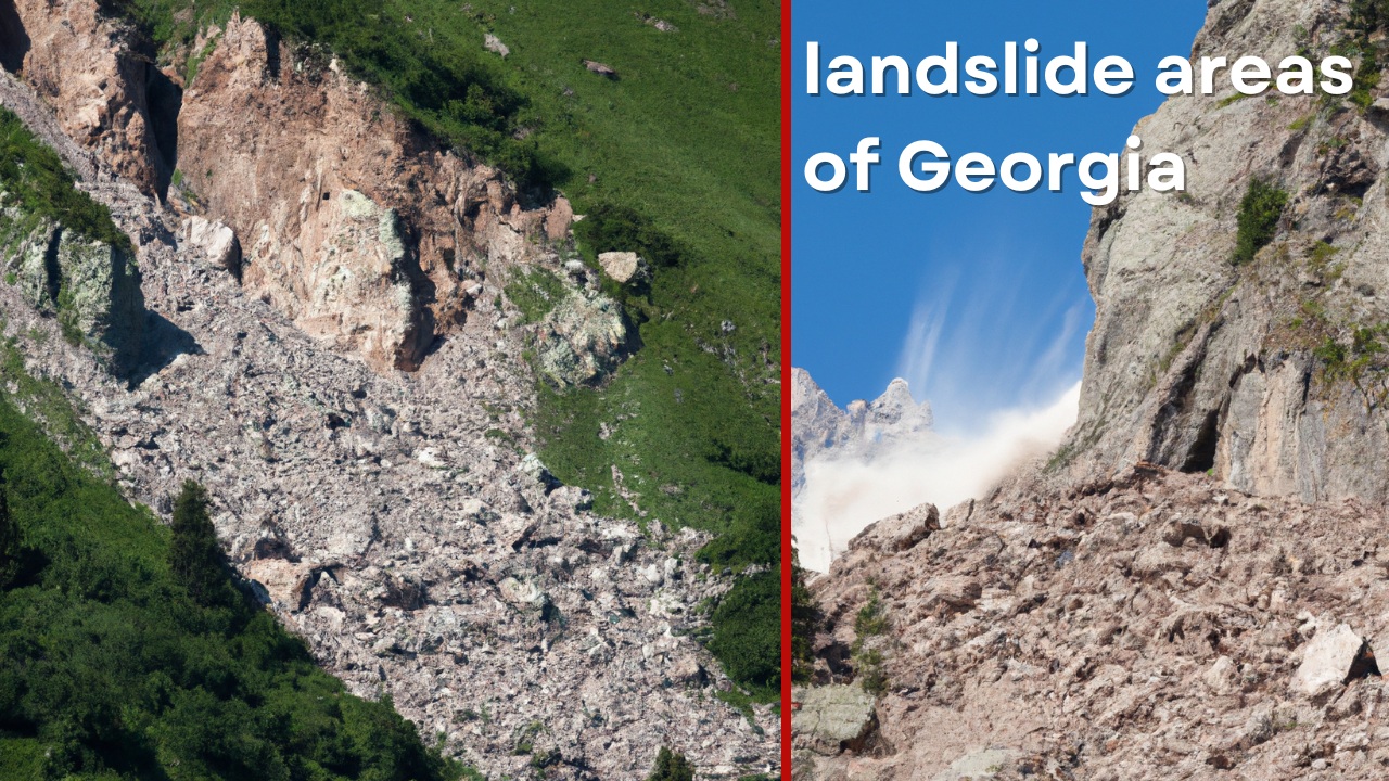
The main objective of the project is to establish modern instrumental monitoring systems in 11 preselected landslide-prone areas across Georgia. This includes their technical operation and maintenance, identification of potential natural hazards, and provision of engineering-technical recommendations to mitigate risks. The project aims to assess landslide characteristics such as volume, power, and speed, while forecasting possible ground movements to predict landslide occurrences and their intensity.
1. Scope of Work
The project will be carried out in two phases:
- Phase 1 (6 months):
- Conduct an initial engineering-geological assessment of each landslide area.
- Perform field studies using advanced methods like LiDAR scanning and UAVs for topographic surveys to create high-resolution geospatial models.
- Analyze the data to model landslide zones and develop an updated geotechnical model.
- Install primary monitoring equipment such as inclinometers, piezometers, and tiltmeters to measure deformations, water pressure, and ground movements.
- Installation of strain gauges [tensiometers, bridge commutation].
- Integrate the systems with a central server operated by the National Environmental Agency of Georgia [APA.gov.ge], ensuring automated data processing and visualization.
Once these are done, you can officially start Phase one of the project.
- Phase 2 (12 months):
- Continue monitoring activities, integrating systems into a centralized platform.
- Provide remote technical services and support to the agency’s personnel.
- Conduct staff training on system operation and maintenance.
- Compile an engineering-technical report including the findings and recommendations for preventive measures.
2. Technical Requirements
Each site will be equipped with a network of monitoring systems:
- Inclinometers to measure ground displacement.
- Piezometers for monitoring groundwater pressure.
- Tiltmeters to detect structural deformations in buildings.
- LiDAR and UAV technology for topographic surveys over 1100 hectares.
- Small weather stations to monitor meteorological conditions affecting landslide dynamics.
- Cameras and video systems for real-time observation.
3. Expected Deliverables
The project must provide:
- Comprehensive geotechnical assessment reports.
- High-resolution digital terrain models (DTMs).
- Instrumental monitoring system reports.
- Installation of automated systems with long-term operational capacity.
- Training for local technical personnel to ensure continuous system maintenance.
4. Timeline and Execution
The entire project is scheduled for completion within 18 months. Interim reports will be submitted after the first phase, with a final report delivered at project completion.
5. Monitoring Locations
Monitoring systems will be installed in the following landslide-prone areas:
- Mukhatskaro, Tbilisi
- Gombori, Kakheti
- Atsquri, Samtskhe-Javakheti
- Komandeli, Racha-Lechkhumi
- Chkhuteli, Racha-Lechkhumi
- Derchi, Imereti
- Tobaieri, Imereti
- Jikhaskari, Samegrelo-Zemo Svaneti
- Zana, Samegrelo-Zemo Svaneti
- Khoreti, Guria
- Jabnizeebi village, Adjara
6. Project Implementation
Finalize the project plan:
- Review the translated Terms of Reference and the outlined project in English.
- Make any necessary adjustments or clarifications based on the project requirements and monitoring sites.
Stakeholder approval:
- Present the project plan to the National Environmental Agency and relevant stakeholders for approval.
- Obtain final sign-off on the scope, timeline, and deliverables.
Phase one implementation (6 months):
- Engineering-Geological Assessment: Begin with a preliminary field assessment of each landslide site.
- Field Surveys: Deploy UAVs and LiDAR technologies to conduct high-resolution topographic surveys.
- Data Analysis & 3D Modeling: Analyze collected data and develop initial geotechnical models and simulations.
- Install Primary Monitoring Systems: Set up inclinometers, piezometers, and other instruments at each site.
- Progress Report: Prepare an interim report detailing the findings and system installations.
Phase two implementation (12 months):
- System Integration: Integrate the installed monitoring systems into a centralized platform for automated data collection and analysis.
- Remote Monitoring & Support: Continue regular monitoring, provide technical support, and maintain the installed systems.
- Staff Training: Conduct technical training for local staff on system operation and maintenance.
- Final Report: Compile and submit a comprehensive final report, including engineering assessments, monitoring results, and future recommendations.
Ongoing maintenance and calibration:
- Ensure regular calibration and technical servicing of all monitoring systems.
- Maintain close collaboration with the National Environmental Agency for real-time data interpretation and decision-making.
Final review and handover:
- Review the project with all stakeholders to confirm successful implementation.
- Hand over all documentation, systems, and operational procedures to the agency.
These steps will ensure the project’s timely and effective execution, with proper monitoring systems in place to mitigate landslide risks in Georgia.
7. Training and Capacity Building
The project includes a comprehensive training program for National Environmental Agency personnel on the operation, maintenance, and troubleshooting of the monitoring systems. The training will cover both theoretical and practical aspects of system installation, data analysis, and technical management.


