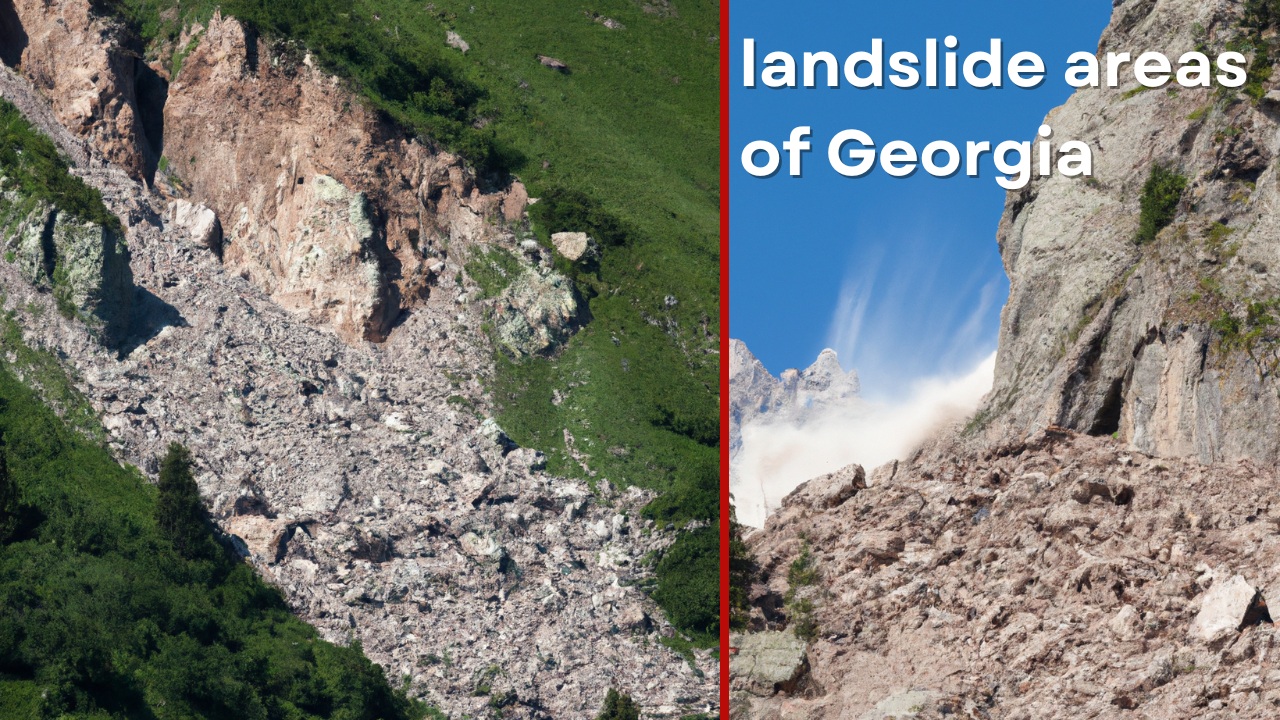
In the mountainous region of Adjara, this year’s heavy rainfall has led to several significant threats. According to geologist Tariel Tuskia, Adjara is one of the most challenging regions in Georgia in terms of landslide risks, and this year’s climatic conditions are creating additional hazards.
By March 2025, the main threats include: the activation of existing landslide zones, rapid snowmelt due to high temperatures combined with rain, and, notably, soil displacement caused by saturation and loss of stability.
Additionally, damage and obstruction to infrastructure, particularly roads, is a concern, which could hinder timely access for rescuers to landslide-affected areas.
The municipalities of Shuakhevi and Khulo are particularly noteworthy due to their steep slopes. In Beshumi and surrounding areas, snow cover up to 4 meters deep poses a significant risk during the melting period. Heavy snowfall from late February to early March was followed by a sharp rise in temperatures.
Currently, reports of landslide activity have already been received from the mountainous villages of Khulo, Shuakhevi, Khelvachauri, and Kobuleti, with immediate responses being initiated.
Preventive measures primarily involve the timely relocation of residents to safe areas during threats, as well as the construction of drainage channels to divert groundwater and reduce the risk of landslide activation.
- In Nergeeti, where a landslide claimed 9 lives, clearing the road will cost 1 million.
Monitoring System
Currently, a multi-tiered notification and monitoring system operates in the region:
Local population: Observes signs of danger (minor soil movement, leaning trees, muddy spring water, cracks in buildings or soil).
Municipal services: Receive reports from residents and relay information to the National Environmental Agency. Authorities assess the situation and dispatch geologists to study the area.
Mobilized technical resources: Tractors, specialized equipment, and emergency services (112) are on standby if needed.
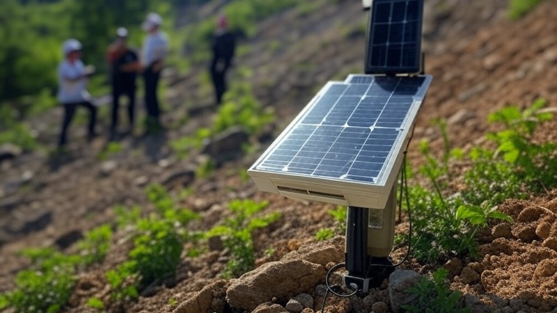
However, all these levels involve human intervention, and even at night, timely detection of landslides is impossible. In the mountainous region of Adjara, for landslide monitoring and early warning, an IoT-based solution (Massive IoT, Sigfox, or LoRaWAN) enhances the existing system through an automated sensor network. It detects minor soil movements and moisture changes, compares them, and transmits real-time information to relevant services.
The system also uses energy-efficient technologies, such as low-power, compact, and affordable solar panels, ensuring 24/7 monitoring with an automatic alert system (no mobile connection required) and delivering information to the population via a free app.
It is crucial that the system be implemented in stages, starting with a pilot project in a high-risk village, then expanding to other danger zones.
Low-Power Connectivity Technology
Observation and Early Warning System (IoT) Through a Cost-Effective Ecosystem
For effective monitoring and prevention of landslide hazards in Adjara’s mountainous region, IoT Laboratory offers an innovative, cost-effective solution that significantly improves the existing notification system.
System components
- Soil movement sensors
- Micro-tilt sensors
- Vibration (e.g., geophone) and displacement detectors (inclinometers permitted)
- High-sensitivity accelerometers
At this stage, tensiometry has been excluded from the system, as scientific funds have not yet supported fundamental research projects, and conducting such an experiment in mountainous Adjara would only delay implementation. Installing tensiometers is not difficult, but correlating their data with other sensors in field (extreme) conditions would waste time.
- Soil Moisture Monitoring
- Moisture meters in shallow boreholes
- Water infiltration level detectors (not requiring connection to every controller)
Communication network
Low-power technology operating at 968 MHz frequency, transmitting compressed data packets at specific intervals.
Solar-powered repeaters on mountain or hilltops with minimal snow cover.
Backup satellite and GSM communication channels.
Data analysis platform
Real-time data processing.
Landslide risk prediction algorithms based on the Institute of Geophysics.
Notification System
Automated alert system via users’ smartphones through pre-installed apps using Nearby Share principles.
Mobile app for local residents.
Direct communication with rescue services.
Emergency SMS and mobile notifications.
Local audio alert system.
Advantages
The system detects early signs of landslides, providing critical time for population evacuation.
Monitoring operates 24/7, eliminating human error: the automated system works continuously in any weather and at any time of day.
Long-term trend analysis identifies high-risk zones.
Low-power sensors, “smart” lithium batteries, and solar power reduce operational costs.
The system can be expanded in stages, starting with priority risk zones.
Example:
Protecting a forest park from wildfires using the Internet of Things (IoT).
Implementation Stages
In the shortest possible time, within a few weeks, a pilot project will be launched—a sensor system will be installed in one specific high-risk village, followed by a demonstration of its effectiveness. Simultaneously, data transmission, collection, and calibration will take place. In the final stage, the system will be fine-tuned to local conditions, and the project will be replicated in other landslide-prone zones, gradually covering all critical areas.
At the same time, technical staff will be trained to support the system, while the population will be educated on how to use it and respond to processes.
IoT Laboratory’s approach not only improves landslide monitoring but also creates a sustainable, cost-effective system that can be applied in other landslide-prone regions of Georgia.


